Celebrate Ride Transit Month with one of these car-free adventures around the Olympic Peninsula
June is officially recognized as Ride Transit Month in Washington state, with a proclamation from Governor Bob Ferguson encouraging residents to explore transit as a convenient, sustainable way to travel.
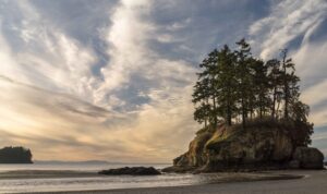
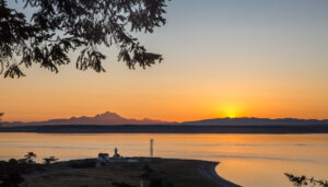
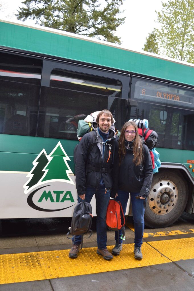
You can celebrate Ride Transit Month by exploring the Olympic Peninsula car-free. Instead of focusing on driving, directions, or parking, you can sit back and enjoy the ride with public transit. The Olympic Peninsula offers beautiful scenery. Relish breathtaking sunrises and sunsets, set against a backdrop of forests, shorelines, and mountain views.
Explore the Olympic Peninsula Without a Car
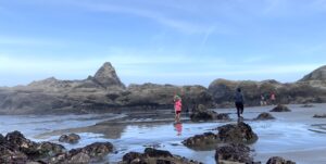
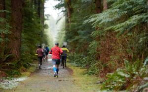
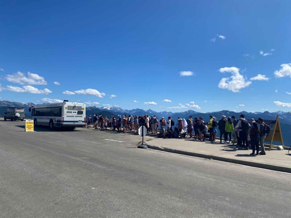
Ride Transit Month highlights how you can explore the entire Olympic Peninsula without a car by connecting multiple transit services into one seamless journey. Explore coastal beaches, lush rainforest trails, scenic lakes, and quiet campgrounds tucked throughout Olympic National Park. Transit can also take you near trailheads leading to alpine views, peaceful lakes and campgrounds that make it easy to turn a day trip into an overnight adventure.
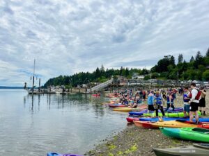
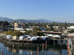
Along the way, you can enjoy charming small towns, local shops, and farmers markets, all without worrying about parking or navigating unfamiliar roads. Whether you’re planning to hike, beachcomb, camp, or simply take in the scenery, transit gives you the flexibility to build a trip that matches your interests and pace. By slowing down and letting someone else do the driving, you can focus more on the landscapes, wildlife, and hidden gems that make the Olympic Peninsula such a special place to explore.
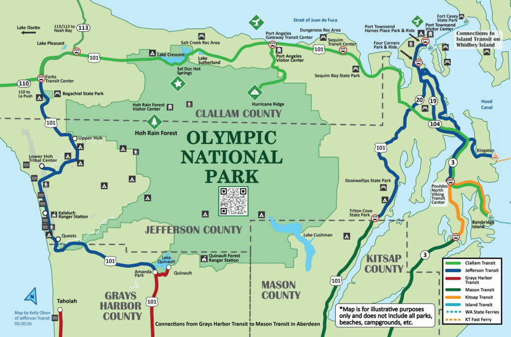
Four Transit Agencies serve the Olympic Peninsula
The Olympic Peninsula encompasses four counties that are served by local transit agencies. These transit agencies offer connecting routes to get you around the entire Olympic Peninsula.
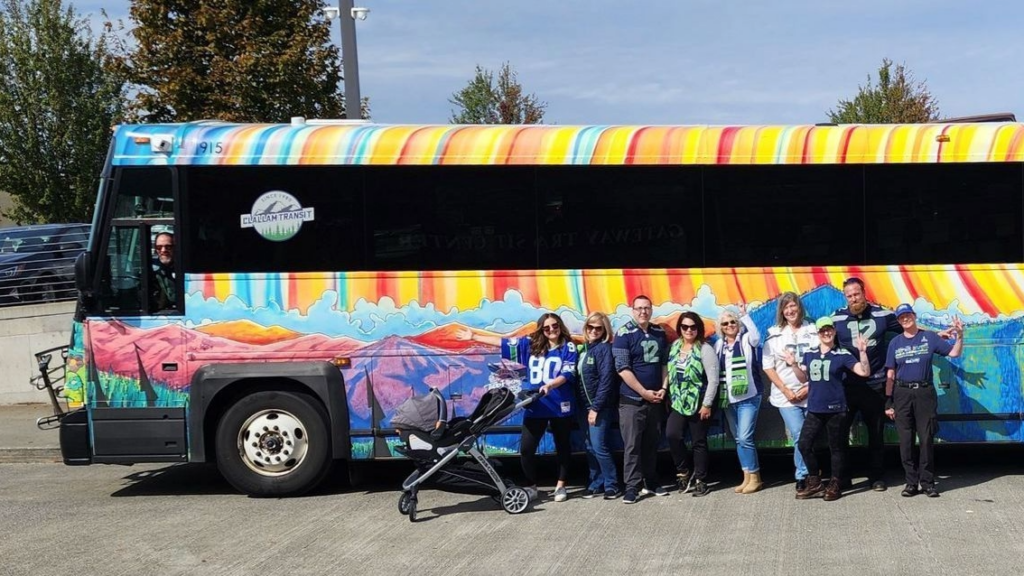
Clallam Transit
Clallam Transit serves communities across Clallam County, including Port Angeles, Sequim, and Forks. Routes are designed for both everyday travel and exploration. Riders can access standout destinations such as Hurricane Ridge, La Push, and Neah Bay. Additionally, the Strait Shot Route #123 travels between Port Angeles and the Bainbridge Island Ferry Terminal connecting the Olympic Peninsula to Seattle. The system connects to neighboring transit providers, making it a versatile option for visitors, and outdoor enthusiasts alike.
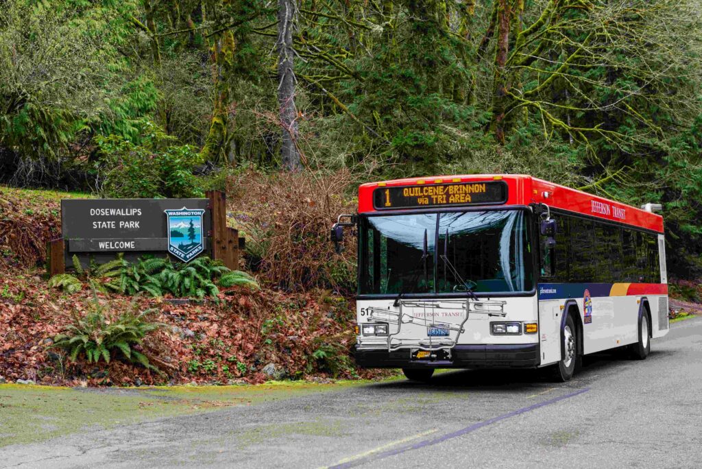
Jefferson Transit
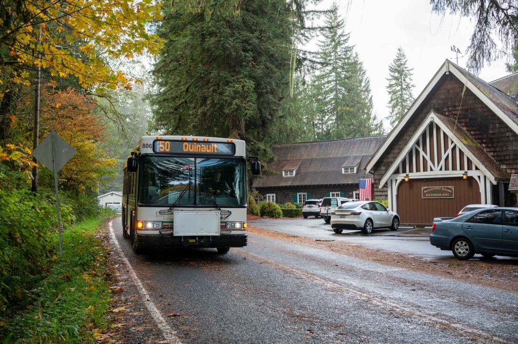
Jefferson Transit connects the communities of Jefferson County, including Port Townsend, Port Hadlock, Quilcene, and Brinnon. In addition to local service, it also links riders to Island Transit, Kitsap Transit, and Washington State Ferries. This includes the Kingston Express that connects you from Port Townsend to the Kingston Ferry Terminal. Jefferson Transit also has service on the west end of the county connecting Forks to Amanda Park by Lake Quinault. Jefferson Transit makes it easier for residents and visitors to travel throughout the county and beyond.
Grays Harbor Transit
Grays Harbor Transit serves the southwestern portion of the Olympic Peninsula. It connects the communities of Quinault, Aberdeen, Hoquiam and Ocean Shores. Its routes support travel to coastal destinations popular with visitors. Explore populated towns and rural areas throughout Grays Harbor County.
Mason Transit Authority
Mason Transit Authority provides transit service throughout Mason County, with routes centered on Shelton, Belfair and surrounding communities. It offers a mix of local routes and regional connections. With links to nearby transit systems, Mason Transit helps riders with accessible travel across the county.
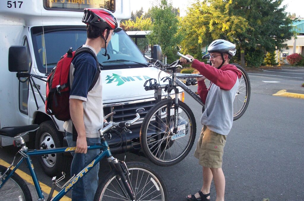
All four agencies are fare free, but some agencies have special routes that may charge a fare. It’s always a good idea to check each agency’s website for the most up-to-date information on trip planning, schedules, fares, pet policies, bike transit, etc. as these details may vary by agency.
Traveling from SEA Airport to the Olympic Peninsula Car-Free
If you’re visiting from outside the area, you can still easily explore the Olympic Peninsula without a car. From SEA Airport, take the Link Light Rail with trains leaving every 8-10 minutes to downtown Seattle. Once there, it’s an easy walk to the Washington State Ferries terminal where you can catch a ferry to Bainbridge Island. Ferries leave about every 40 minutes and it’s a 35-minute ride to the island. Steps from the Bainbridge Island terminal, you can catch the Route 123 Strait Shot bus to Port Angeles, run by Clallam Transit. Check out this video to see just how easy and fun it is!
Riding Transit Contributes to Cleaner Air
Transit is an affordable, accessible, and convenient way to get around offering environmental benefits. Every bus ride helps reduce greenhouse gas emissions, ease traffic congestion, and lessen the demand for parking. Even choosing transit for a single trip can contribute to cleaner air and a healthier Olympic Peninsula. By leaving your car behind, you may find that getting around is not only easier, but also more relaxing and enjoyable than expected. And you’re helping the environment.
Celebrate Ride Transit Month with car-free adventures around the Olympic Peninsula.
By guest blogger Kelly Olsen, Jefferson Transit
More resources about Exploring the Olympic Peninsula and car-free trips:
Olympic Peninsula – https://olympicpeninsula.org/transportation/
Olympic National Park – https://www.nps.gov/olym/planyourvisit/gettingaround.htm
Olympic Discovery Trail – https://olympicdiscoverytrail.org/visit/getting-here/